Update February 21, 2014: A reader pointed me to a Wikipedia article on Somali architecture.
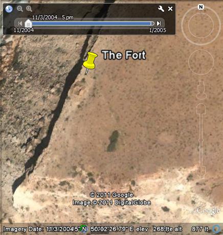
Update February 8, 2011: I have located the fort in Google Earth. It is located at Gabbac, Nugaal, 27 kilometers north of Dag Lahaa.
I would like to take this opportunity to thank those who contributed comments on my post at SomaliNet Forums.
Here is the Google Earth satellite image of the fort. It is not viewable in currently available satellite imagery due to cloud cover. You must choose satellite images dated 11/3/2004 or 12/14/2004 in Google Earth. The co-ordinates of the fort are 8 08′ 48.57″ N 50 02′ 25.59″ E.

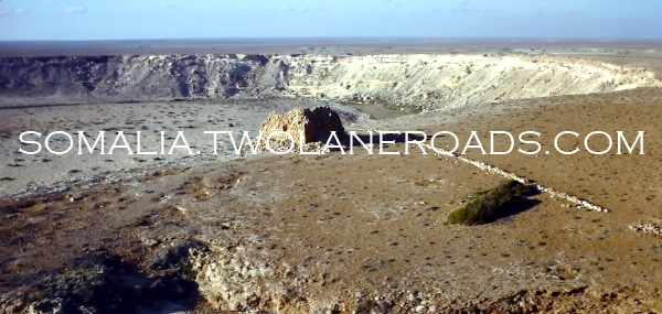
One of our return flights from an Indian Ocean R&R brought us past this fortress, possibly constructed during the Dervish war in the early 1900s. I’m not sure if it’s Somali, Italian or British.
The British did build a number of forts to guard access to the interior of what they considered to be their territory. In that case, the location of this fort is ideal, constructed as it was on the high ground overlooking the valley in many directions.


